


Useful Emergency Info
Weather Info
|
Typhoons : Projected path (Japan zoomed view) |
■ Issued by JMA at 21:45 on Jul 24,2026
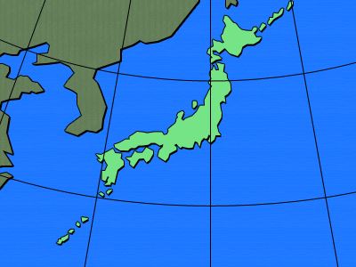
| Typhoon No.12 |
|
|
||||||||||||||||||||||||||||||||||||||||||||||||||||||||
Copyright(C) Mie Prefecture, All Rights Reserved.
Department of Disaster Prevention, Mie Prefecture