Useful Emergency Info
Weather Info
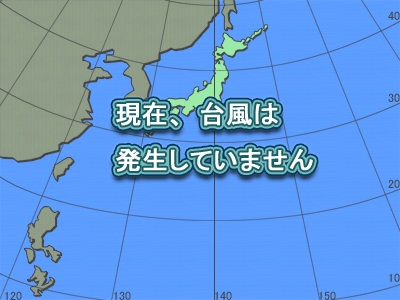
Typhoons : Projected path (Asian region)
|
■ Issued by JMA at 01:10 on Oct 18,2025
CurrentLocation |
Location |
Latitude =13.2
Longitude =127.7
|
Area |
フィリピンの東 |
Size |
-- |
Strength |
-- |
Maximum wind speed |
15 km/h |
Direction of movement |
西 |
Speed |
35 km/h |
Central pressure |
1002 hPa |
Maximum storm radius |
-- km |
Direction of maximum storm radius |
-- |
Minimum storm radius |
-- km |
Direction of minimum storm radius |
-- |
Maximum gale radius |
-- km |
Direction of maximum gale radius |
-- |
Minimum gale radius |
-- km |
Direction of minimum gale radius |
-- |
|
Information on forecast center position |
Date and time of forecas |
10/19/2025 00:00 |
Location |
Latitude =14.4
Longitude =123.4
|
Maximum wind speed |
18 km/h |
Direction of movement |
西北西 |
Central pressure |
1000 hPa |
Radius from the forecast center position |
110 km |
Maximum storm warning radius |
-- km |
Direction of maximum storm warning radius |
-- |
Minimum storm warning radius |
-- km |
Direction of minimum storm warning radius |
-- |
|
Copyright(C) Mie Prefecture, All Rights Reserved.
Department of Disaster Prevention, Mie Prefecture